How satellites track deforestation and urban tree loss
Airleaf research team · · 6 min read
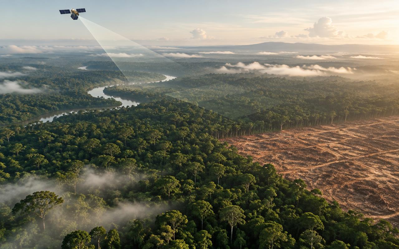
Global tree-cover monitoring used to rely on ground surveys and self-reported figures. Free public satellite imagery changed that — now canopy change can be checked from orbit, for almost anywhere on Earth, on a schedule of days rather than years.
The core idea: NDVI
Healthy vegetation reflects near-infrared light strongly and absorbs most visible red light for photosynthesis; bare ground, water and pavement do neither distinctly. The Normalized Difference Vegetation Index (NDVI) compares those two bands pixel by pixel, producing a score that reliably separates living plant cover from everything else.
It is not a new idea — NDVI has been the workhorse of vegetation remote sensing since the 1970s — but the satellites providing the raw imagery have gotten dramatically better and, critically, free to use.
The satellites doing the work
The European Space Agency's Sentinel-2 mission and NASA/USGS's Landsat programme are the two workhorses behind most public forest-monitoring tools. Sentinel-2 revisits most of the globe every few days at 10-metre resolution — fine enough to see a neighbourhood's canopy pattern, though not individual small trees.
Public platforms like Global Forest Watch, run by the World Resources Institute, stitch this imagery into near-real-time alerts, and national programmes such as Brazil's PRODES and DETER systems use the same underlying approach to monitor Amazon deforestation specifically.
What it can and cannot tell you
At 10-metre resolution, a single pixel covers a 10x10 metre patch of ground — enough to reliably detect canopy loss or gain across a neighbourhood, a park or a forest block, but not to count individual trees or catch a single tree being removed from a large property.
Cloud cover is the other real constraint: optical satellites cannot see through it, which is why most tools use the clearest available scene from a recent window (often 60–150 days) rather than a single fixed date.
Why this matters beyond mapping
The practical shift is accountability. A city, an NGO or a planting programme claiming canopy has grown 10% no longer has to be taken on faith — the same public imagery anyone can access can check it. That is the same principle behind measuring a search circle's canopy directly from Sentinel-2 rather than estimating it: the number should be reproducible by anyone with access to the same imagery, not just trusted because someone said so.
Put it into practice
See the canopy and air quality of your own street, then plant what it's missing.
Analyse my area →